In advance of our first ArcGIS workshop of the semester, I thought I’d share some information about geographic information systems: what they are and how they are used.
geographic information systems (GIS)
Workshops: Intermediate ArcGIS Parts One & Two

ArcGIS is a suite of software used to create and use maps, compile geographic data, analyze mapped information, share and discover geographic information, and manage geographic information in a database. It is available in Gorgas and Rodgers libraries.
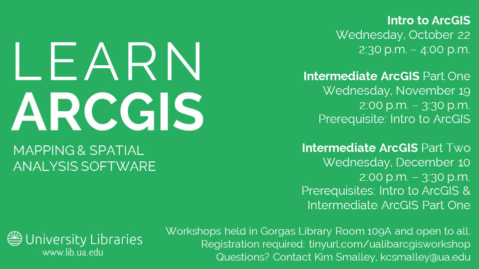
Kim Smalley, Web Developer in the UA Libraries’ Web Services department, will offer both introductory and intermediate workshops on ArcGIS this semester. Here are the details for the two-part Intermediate ArcGIS series: Continue reading
Workshop: Intro to ArcGIS
 ArcGIS is a suite of software used to create and use maps, compile geographic data, analyze mapped information, share and discover geographic information, and manage geographic information in a database. It is available in Gorgas and Rodgers libraries.
Kim Smalley, Web Developer in the UA Libraries’ Web Services department, will offer both introductory and intermediate workshops on ArcGIS this semester. Here are the details for Intro to ArcGIS: Continue reading