Happy GIS Day!
Part of Geography Awareness Week, GIS Day is an annual salute to geographic information systems technology. In honor of this year’s celebration, this post highlights some of Libraries’ geography and mapping resources.
Geography Reference Guide
This guide from geography subject specialist John Sandy includes articles and databases, books, websites, citation help, and other handpicked resources to assist with geography research.
Speaking of subject specialists, did you know that the University Libraries offer individualized research consultations for faculty, students, and others who need in-depth assistance with finding sources? Whether you are new to campus or an experienced researcher, you are encouraged to sign-up for a consultation to make certain that you are taking full advantage of the resources and services of the Libraries.
Geography Databases
Library databases allow you to find journal, magazine, and newspaper articles; encyclopedia, dictionary, and other reference information; books; and other information sources.
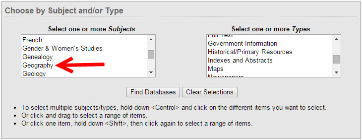
You can find handpicked databases in the Geography Reference Guide or see a list of all Geography databases by choosing Geography from the Subjects list on the Databases page.
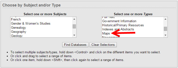
Similarly, you can see a list of databases that include maps by choosing Maps from the Types list on the Databases page.
GIS Software & Other Mapping Tools
ArcGIS
ArcGIS is a suite of software used to create and use maps, compile geographic data, analyze mapped information, share and discover geographic information, and manage geographic information in a database. It is available in Gorgas and Rodgers libraries.
Find resources to help you use ArcGIS in the ArcGIS LibGuide, and read more about ArcGIS on the Academic Technologies blog.
Google Earth
Google Earth allows you to travel the world through a virtual globe and view satellite imagery, maps, terrain, 3D buildings, and much more. It is available in Gorgas, Hoole, McLure, and Rodgers libraries.
SimplyMap
SimplyMap is a web-based mapping application that enables non-technical and advanced users to quickly create professional thematic maps and reports using powerful demographic, business, and marketing data. Over 75,000 data variables related to demographics, employment, housing, market segments, businesses, consumer spending, brand preferences, and public health are offered.