Yesterday, I shared some information the first session in our new Get to Know series, Get to Know ArcGIS. ArcGIS Story Maps workshops are also new this semester, and the first session is next Thursday, February 5.
Here are the details:
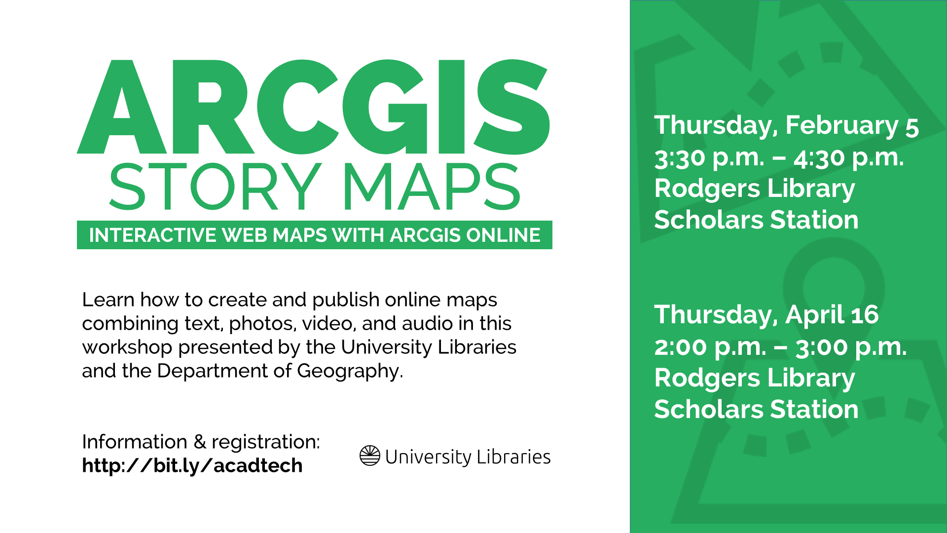
ArcGIS Story Maps
Thursday, February 5, 2015
3:30 p.m. – 4:30 p.m.
Rodgers Library Scholars Station
ArcGIS is a suite of software used to create and use maps, compile geographic data, analyze mapped information, share and discover geographic information, and manage geographic information in a database. It is available in Gorgas and Rodgers libraries.
This workshop will provide an introduction to story maps, interactive web maps created with Esri’s cloud-based mapping and GIS system, ArcGIS Online. Attendees will learn how to create and publish online maps combining text, photos, video, and audio. This workshop is presented by the University Libraries and the Department of Geography, and the instructor is Dr. Steven Ericson, an instructor in the department.
I’m particularly excited about this workshop for a couple of reasons. First, it represents a collaborative effort by the University Libraries and the Department of Geography, and the department’s Dr. Steven Ericson is our instructor. Second, Story Maps are excellent tools for geographers and non-geographers alike, allowing both geographic information system professionals and those without GIS knowledge or skills to use GIS tools. This video from ESRI, the company behind the ArcGIS suite of software, provides a great introduction.
Register for a February or April ArcGIS Story Maps session to learn more.
ArcGIS Story Maps Flyer (PDF)