Introduction to ArcGIS returns to the Libraries next week.
Here’s what you need to know:
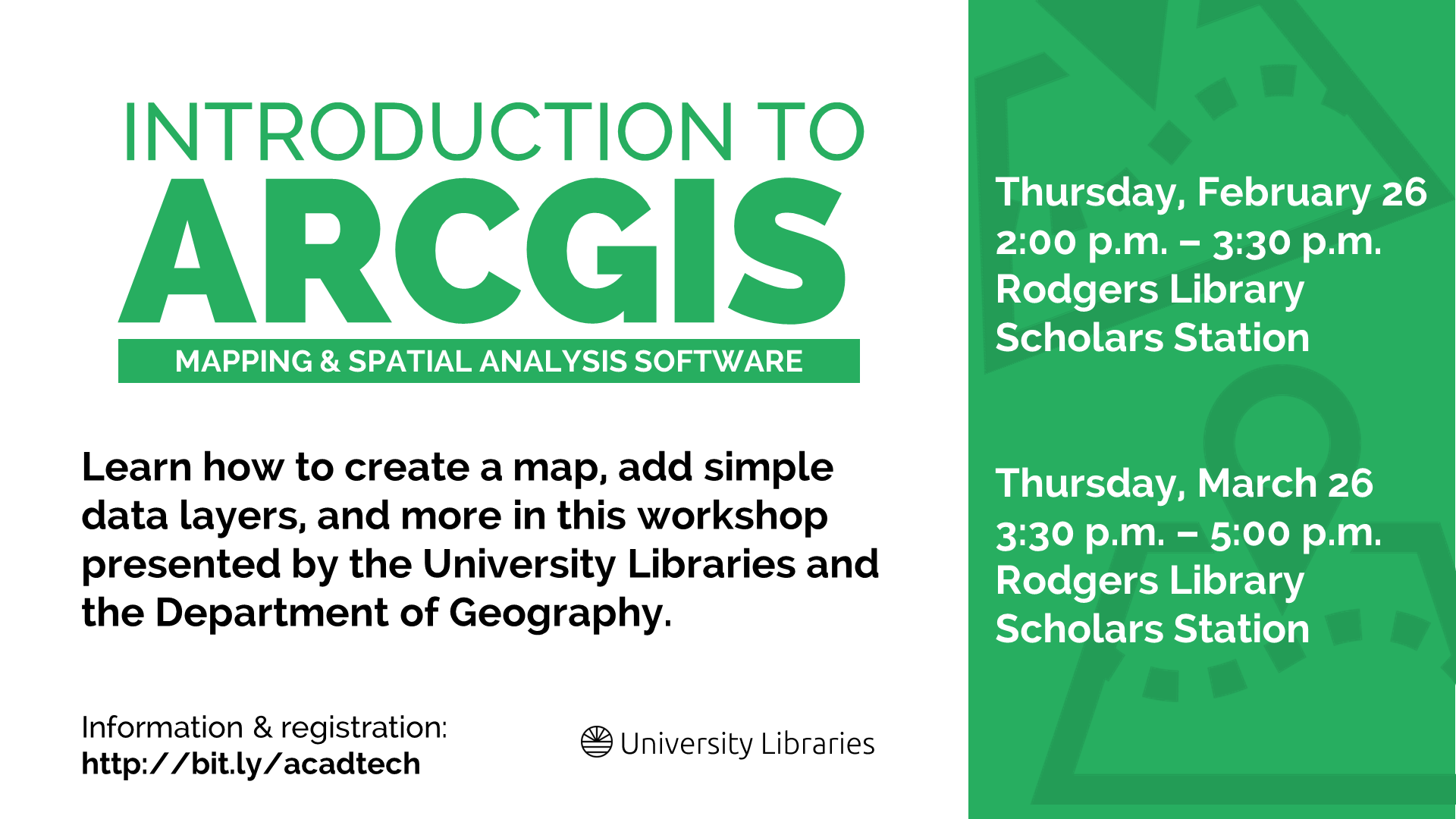
Introduction to ArcGIS
Thursday, February 26, 2015
2:00 p.m. – 3:30 p.m.
Rodgers Library Scholars Station
-OR-
Introduction to ArcGIS
Thursday, March 26, 2015
3:30 p.m. – 5:00 p.m.
Rodgers Library Scholars Station
ArcGIS is a suite of software used to create and use maps, compile geographic data, analyze mapped information, share and discover geographic information, and manage geographic information in a database. It is available in Gorgas and Rodgers libraries.
This workshop will provide an introduction to the ArcGIS ArcMap software. It will cover basic skills such as creating a map, adding simple data layers, examining the data layers, adding essential map elements, and printing and exporting the map. This workshop is presented by the University Libraries and the Department of Geography, and the instructor is Dr. Steven Ericson, an instructor in the department.
ArcGIS is a fantastic resource that’s not just for geographers. Please join us next week or in March to learn more.