Google offers several mapping tools. Our Fall 2015 sessions will cover three: My Maps, Earth, and Fusion Tables. Continue reading
geographic information systems (GIS)
Fall 2015 ArcGIS workshops at Rodgers Library
While geographic information systems are the tools of choice for geographers, geographic information technologies have applications in many disciplines. Tools used by geographers to map the earth’s surface can be used by biologists to track migration patterns, social scientists to identify food deserts, epidemiologists to monitor the spread of disease, and humanists to create literary and historical maps.
This semester, the Department of Geography’s Dr. Steven Ericson will teach two introductory workshops on the widely used ArcGIS suite of GIS software. Continue reading
Fall 2015 Esri Story Maps workshops
The well-liked Esri Story Maps workshops and are back this semester. Also returning is the Geography department’s Dr. Steven Ericson, instructor. Dr. Ericson will teach two sessions on how to create and publish interactive web maps combining text, photos, video, and audio with Esri’s cloud-based mapping and GIS system, ArcGIS Online. Continue reading
Fall 2015 Academic Technologies workshops open for registration
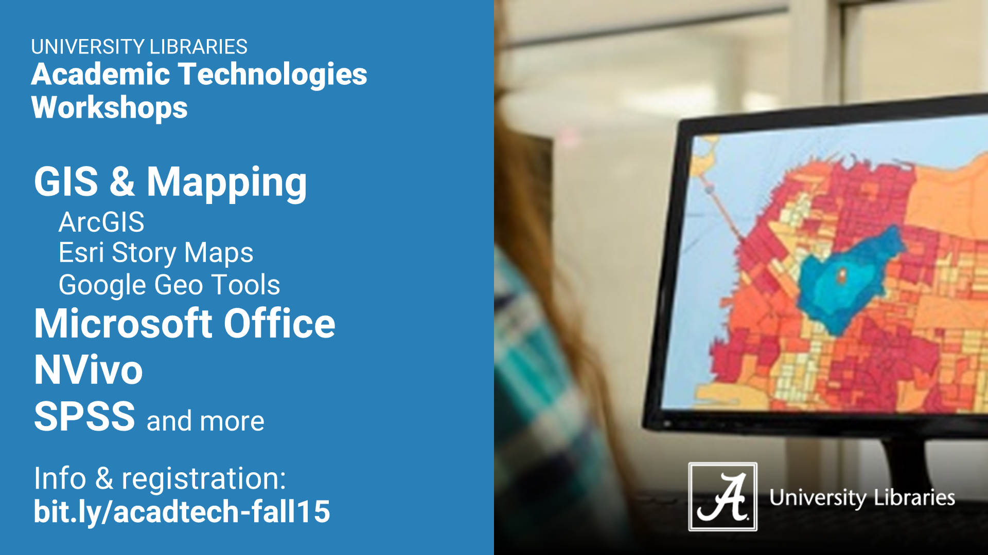
Registration for Fall 2015 Academic Technologies workshops is now open! This semester will offer opportunities to learn about ArcGIS, Esri Story Maps, Google Geo Tools (My Maps, Earth, and Fusion Tables), Microsoft Office (Excel, PowerPoint, Sway, and Word), NVivo, SPSS, and more. Download a flyer (landscape (PDF) & portrait (PDF)) or view workshop descriptions and register here. Continue reading
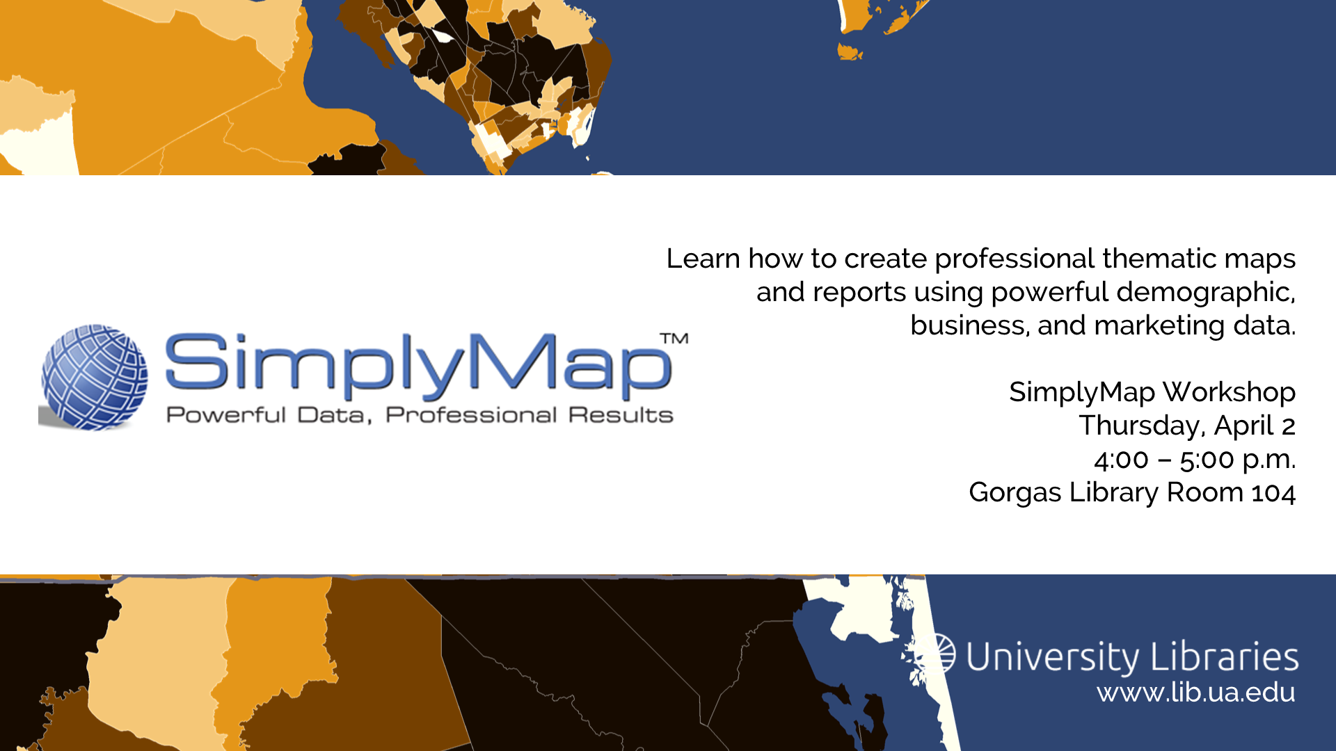
SimplyMap Workshop
While this blog’s primary focus is the academic software installed on public computers in the UA Libraries, we occasionally highlight other library and campus services and spaces at the intersection of academics and technology. This post highlights an upcoming workshop offered by the Libraries’ Gorgas Information Services department.
Introduction to ArcGIS
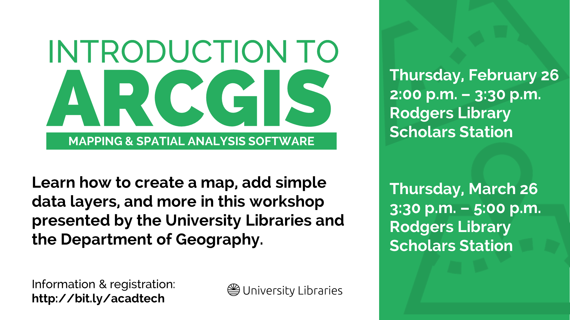
Introduction to ArcGIS returns to the Libraries next week. Continue reading
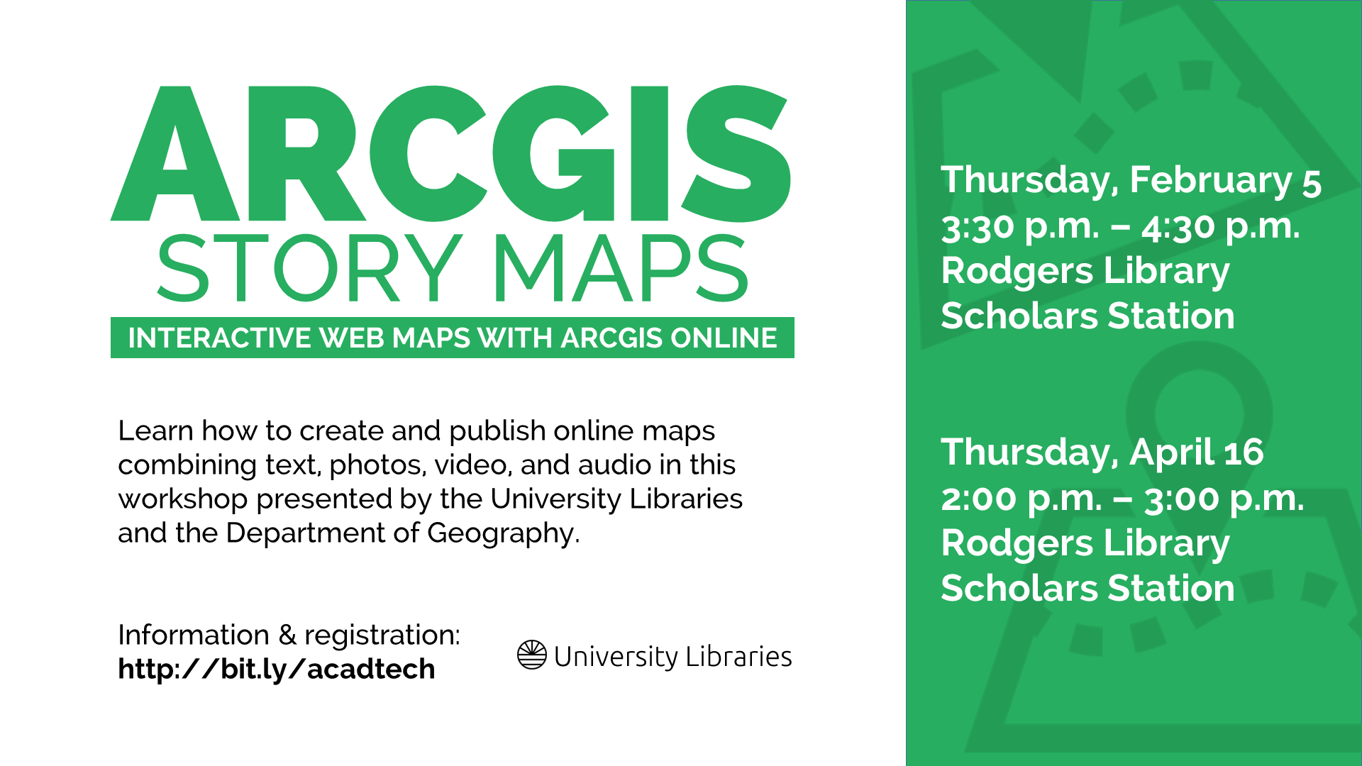
ArcGIS Story Maps
Yesterday, I shared some information the first session in our new Get to Know series, Get to Know ArcGIS. ArcGIS Story Maps workshops are also new this semester, and the first session is next Thursday, February 5. Continue reading
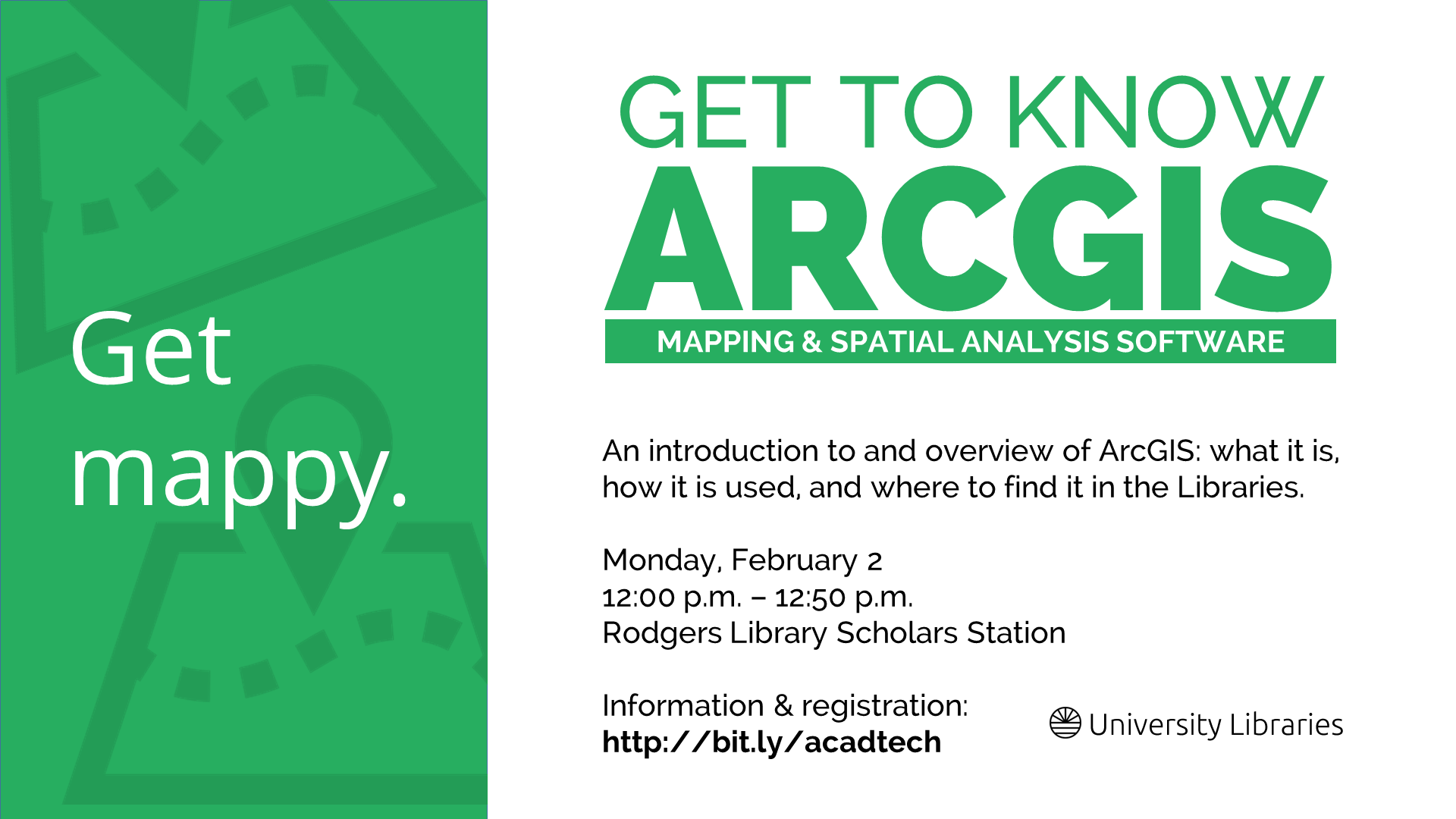
Get to Know ArcGIS
Spring 2015 Academic Technologies workshop registration opened this week, and next week brings the first two workshops of the semester: Get to Know ArcGIS and ArcGIS Story Maps. Continue reading
Spring 2015 Academic Technologies workshops open for registration
I’m happy to share that our Spring 2015 Academic Technologies workshop schedule is now available. This semester will offer opportunities to learn about ArcGIS, Microsoft Word, NVivo, SAS, SPSS, and SketchUp. View a list of workshops by date and topic or register here.
Rodgers Library will also offer several software workshops this semester; topics include QtiPlot, Adobe InDesign, SketchUp, and MATLAB. You can read workshop descriptions and register here.
Continue reading
GIS Day 2014
Happy GIS Day! Continue reading
